BACKtoNED
links and images
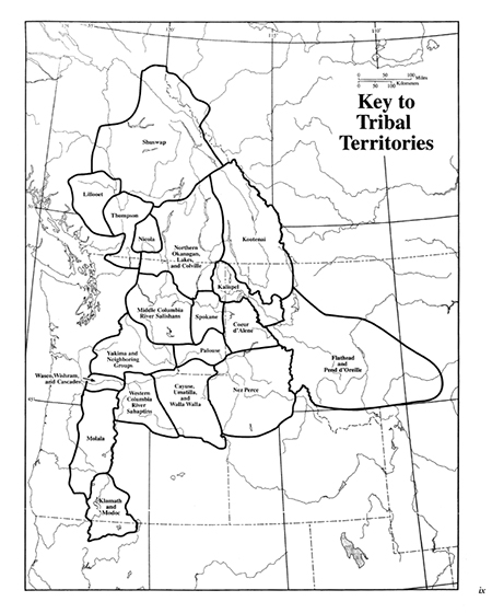
Tribal Areas
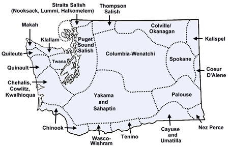
Washington Tribes
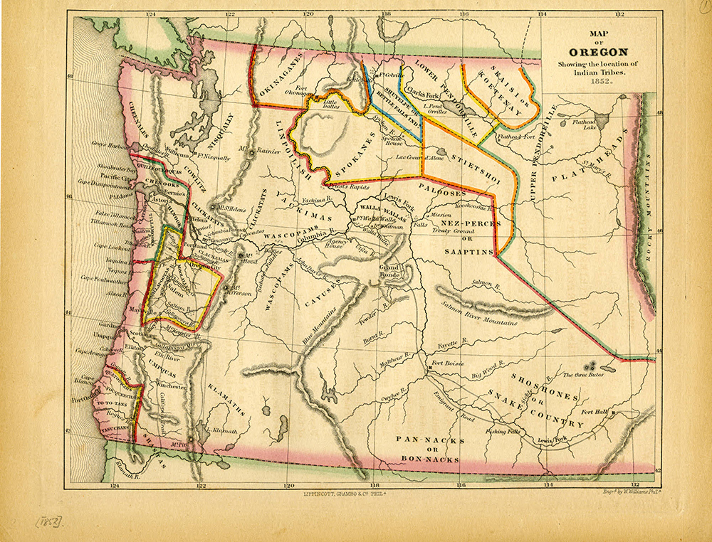
Map 1852
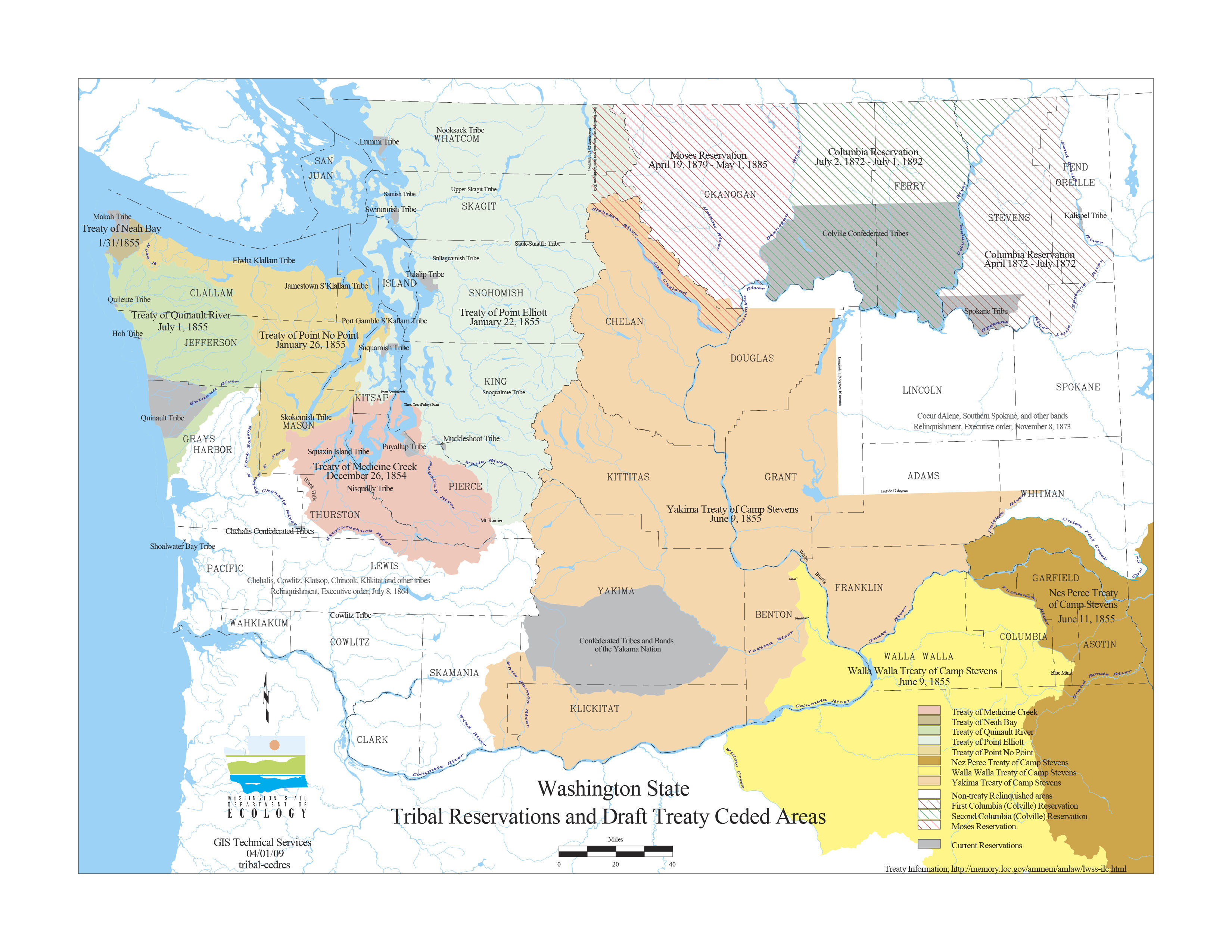
Ceded Lands
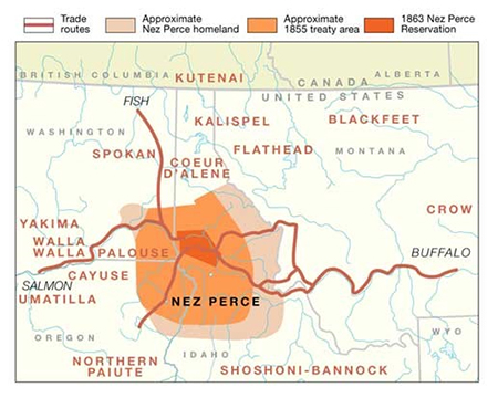
1863 Nez Perce Treaty Map
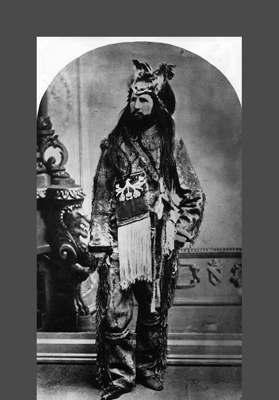
Edouard (Ned) Chambreau
Edouard (Ned) Chambreau
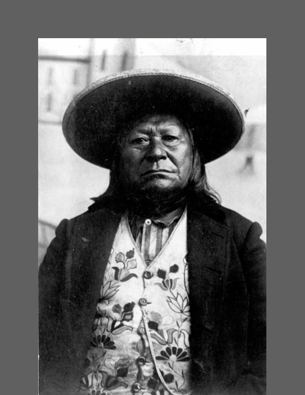
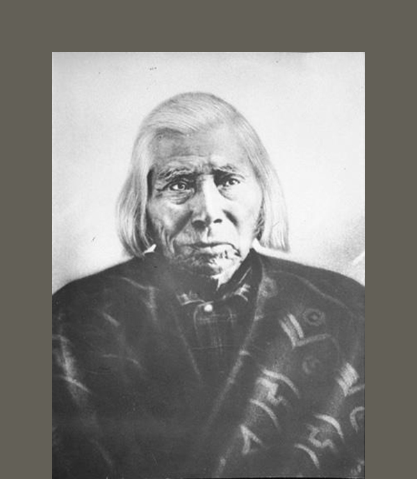
Sulk-stalk-scosum (Moses)
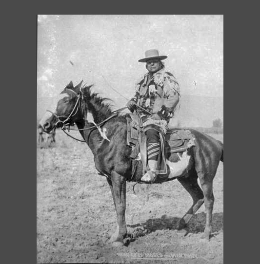
Sulk-stalk-scosum (Moses)
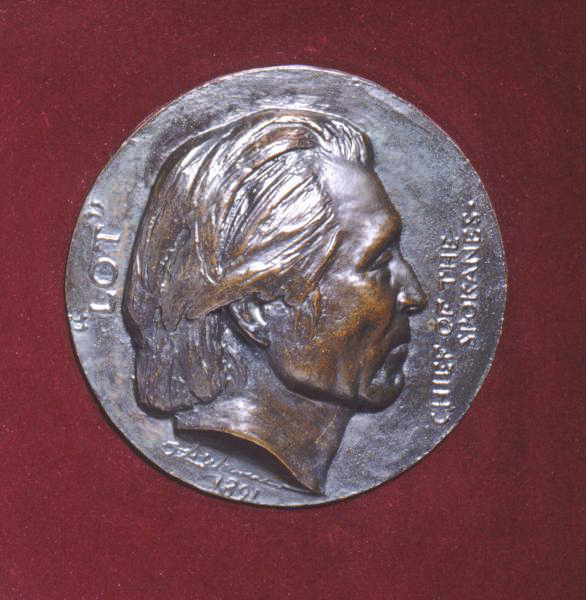
Lot by Olin Levi Warner
Skolaskin
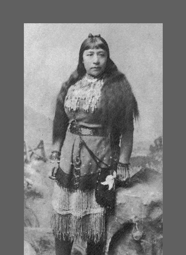
Sarah Winnemucca
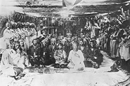
Smohalla at Priest Rapids 1884
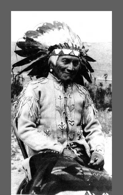
Slough-Keetcha (Spokane Garry)
Slough-Keetcha (Spokane Garry) 1892
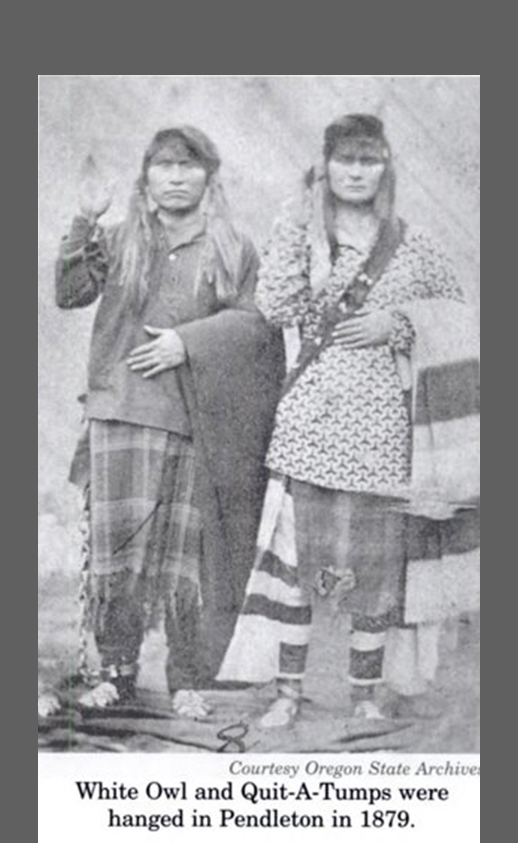
White Owl and Quit-a-tumps
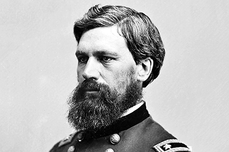
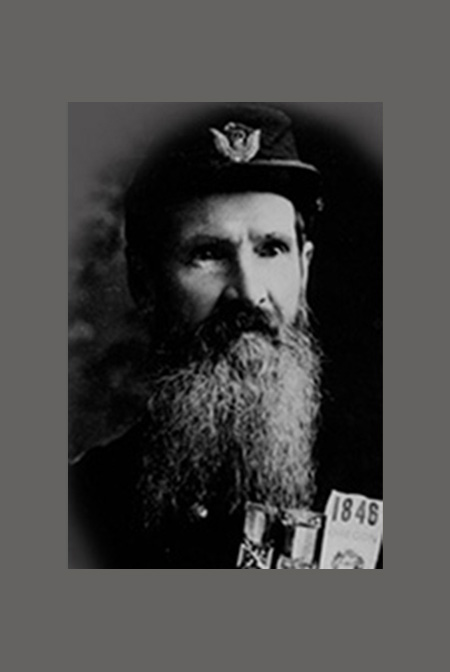
General O.O. Howard
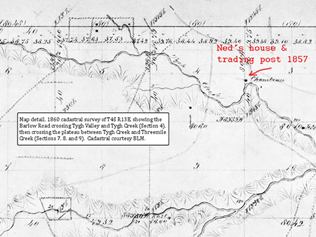
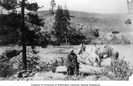
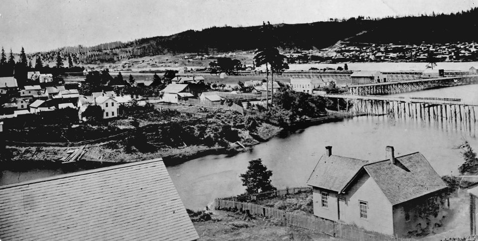
Ned's place at Tygh Valley
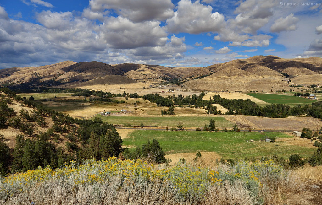
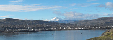
Tygh Valley now
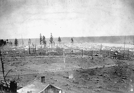
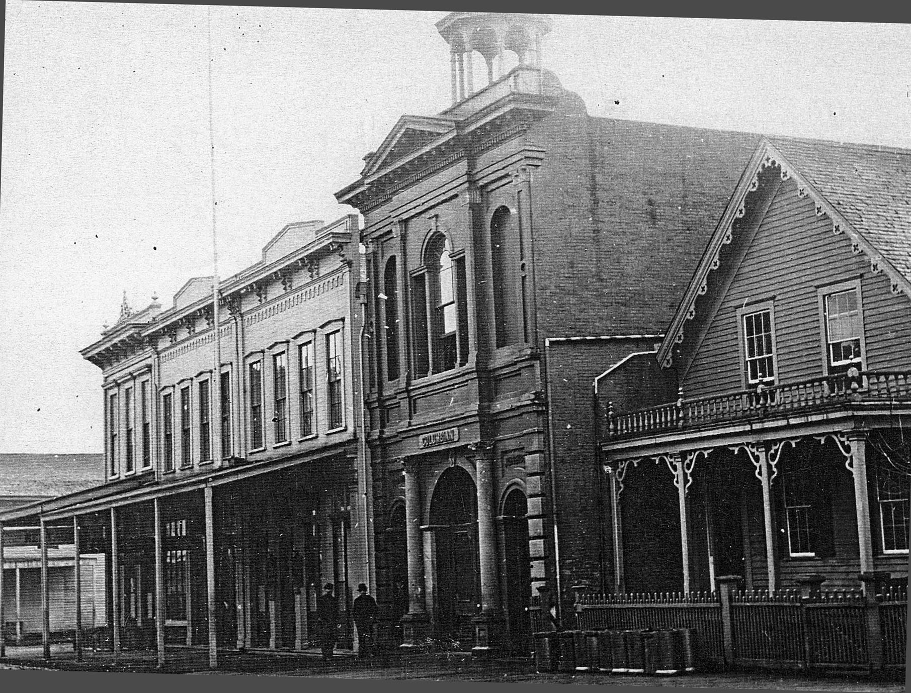
Stumptown
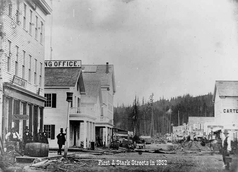
Portland 1852
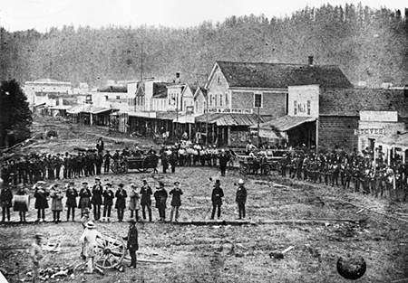
Portland 1857
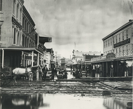
Portland Front St 1870
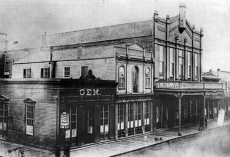
The Gem Saloon and Oro Fino Saloon and Theater in Portland
Portland 1872
200 block SW Washington st Portland
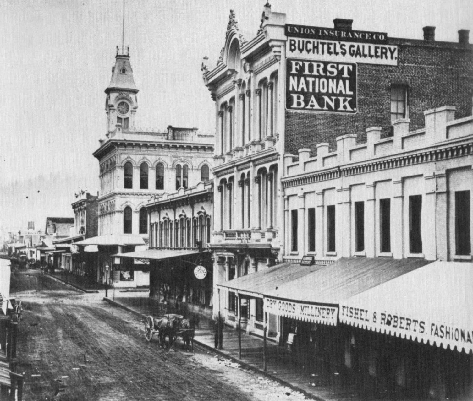
Portland First St So from Washington
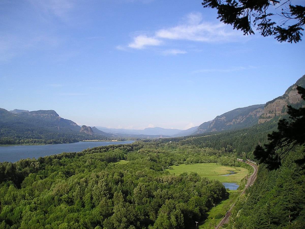
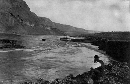
Columbia east of Portland
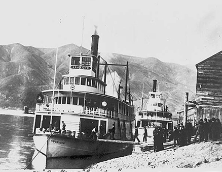
Steamers on the Columbia
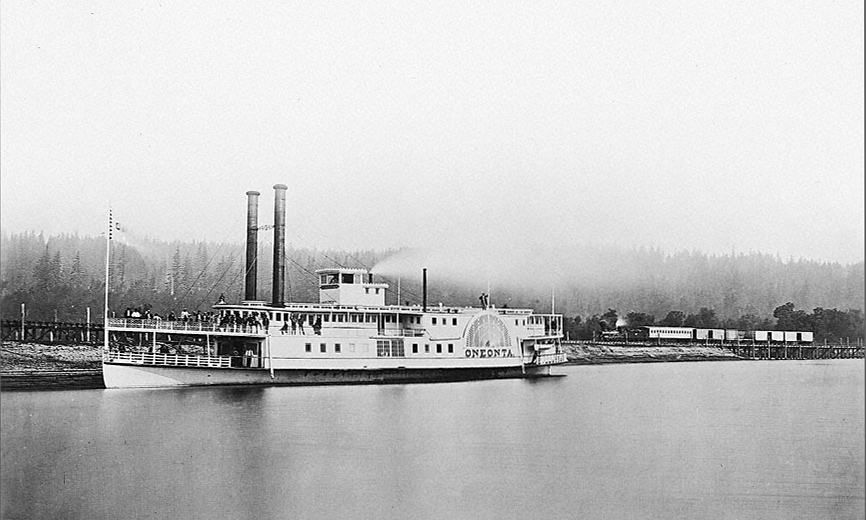
Steamer Oneonta 1867
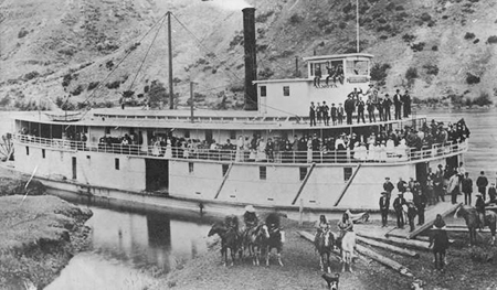
Snake River Steamer Almota 1900
The Dalles 1856
The Dalles now
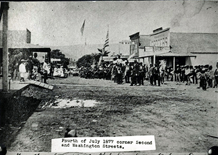
The Dalles 1877
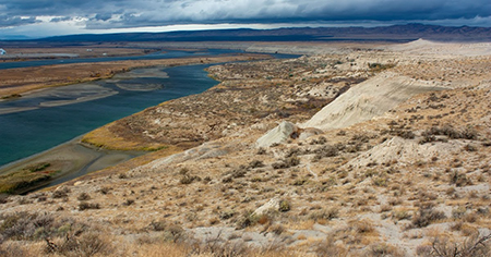
White Bluffs at Priest Rapids now
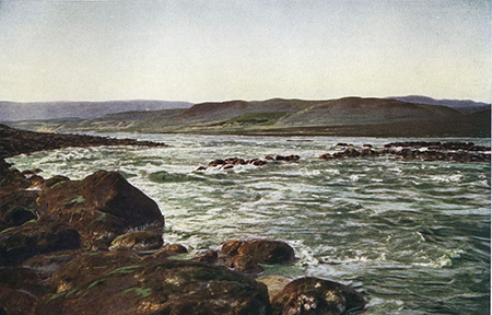
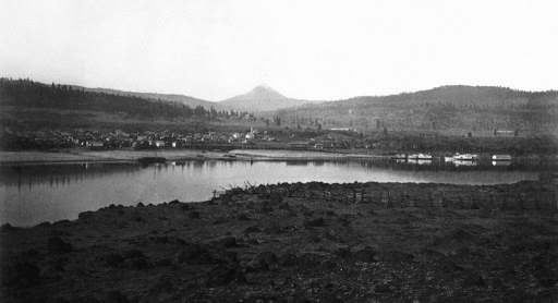
Priest Rapids
John Gates at Priest Rapids
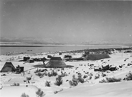
Wanapum at Priest_Rapids
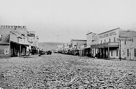
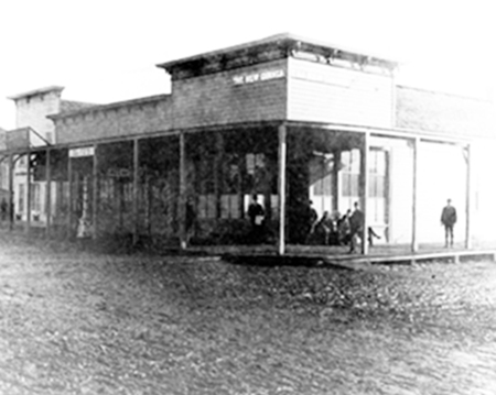
Pendleton main street
Walla Walla 1878
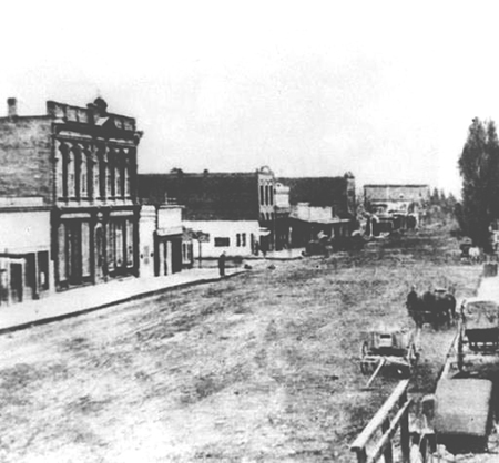
Ellensburg
Yakima City 1883
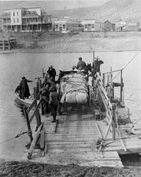
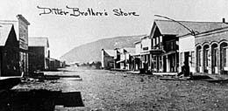
Condons Ferry Okanogan
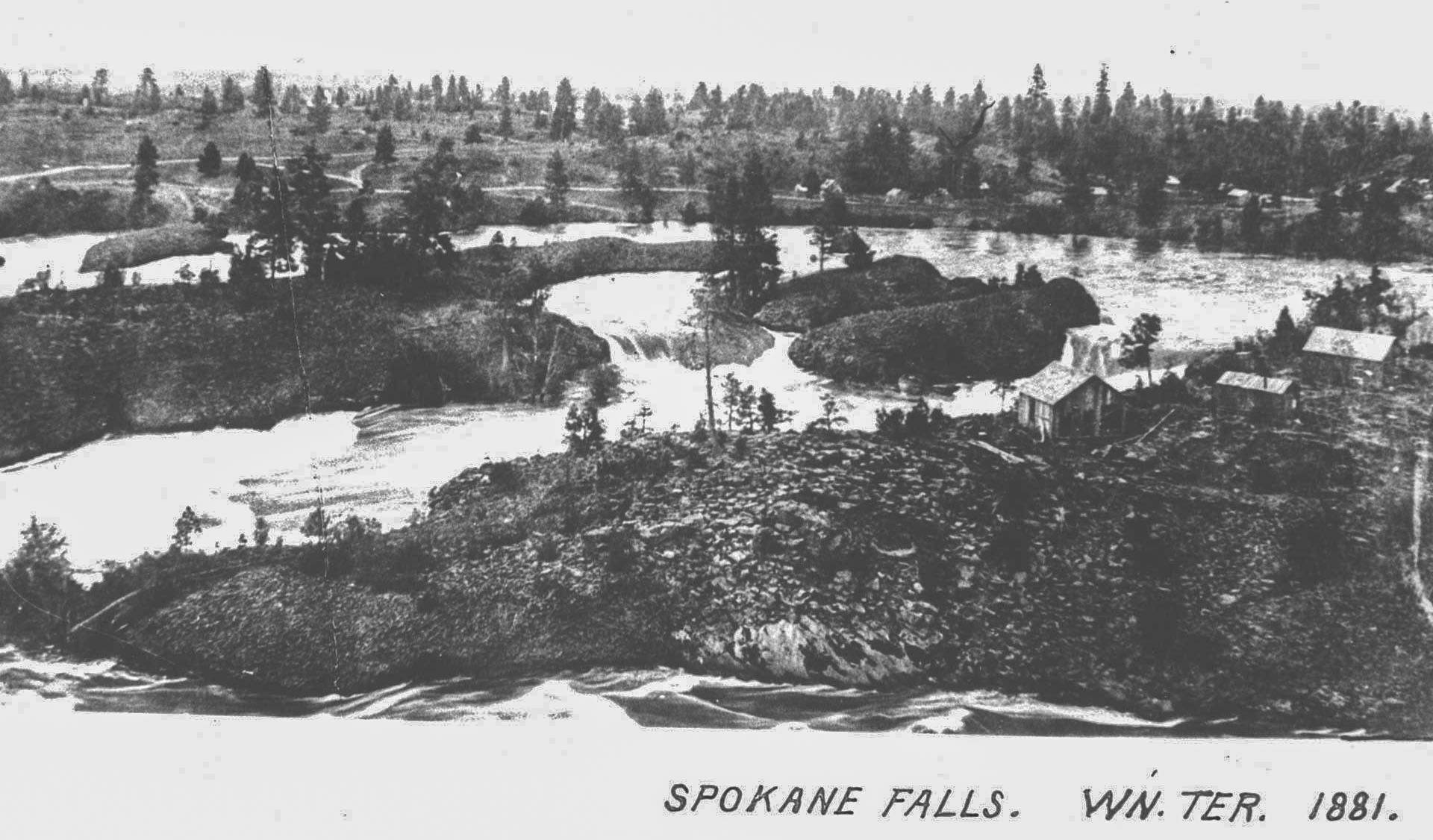
Spokane Falls 1881
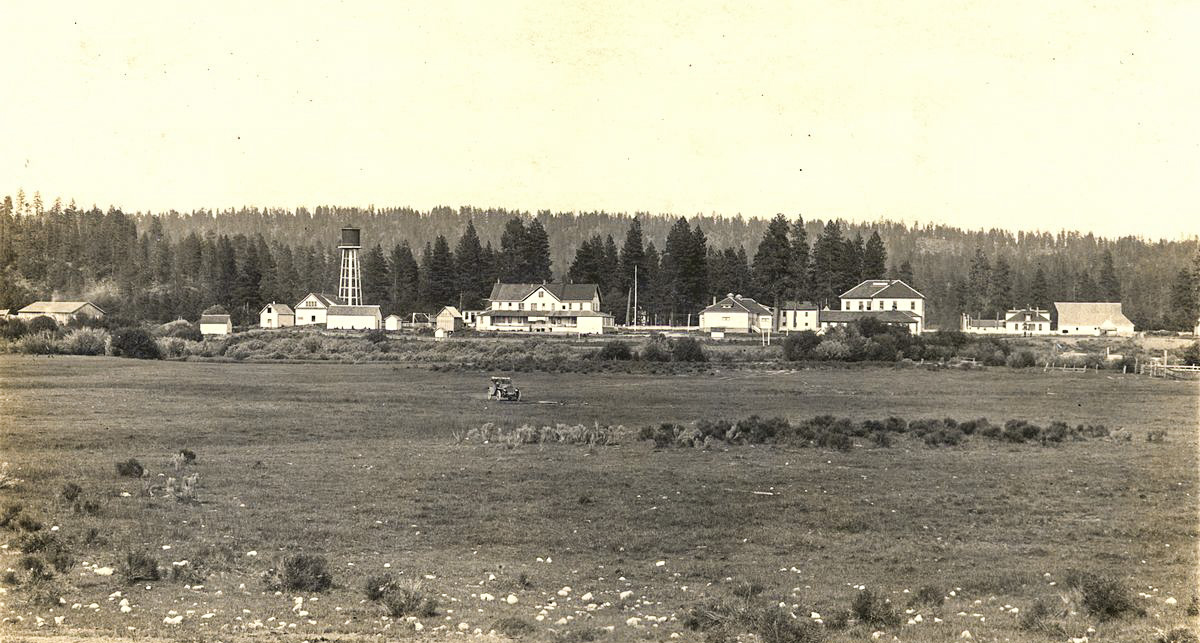
Klamath Agency
Seaside House
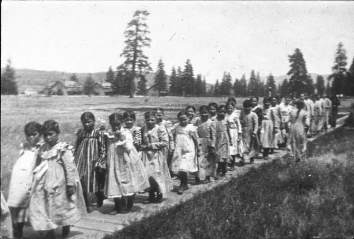
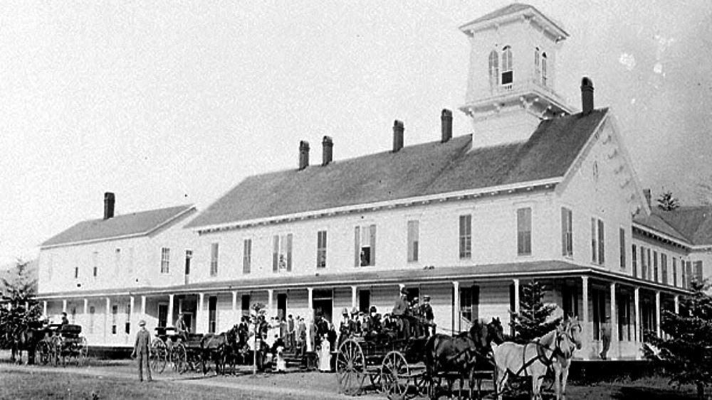
Children at Fort Spokane Indian school circa 1905
references:
Ruby, Robert H. and Brown, John A. 1965. Half-Sun on the Columbia: a biography of Chief Moses. University of Oklahoma Press.
Ruby, Robert H. and Brown, John A. 1981. Indians of the Pacific Northwest: A History. University of Oklahoma Press.
Ruby, Robert H. and Brown, John A. 1972. The Spokane Indians: Children of the Rising Sun University of Oklahoma Press
Sheller, Roscoe. 1957. Ben Snipes: Northwest Cattle King Binford Mort Publishing, Portland OR
Pacific Northwest Quarterly 1959. Grant’s Indian Peace Policy on the Yakima Reservation. Vol L No 4, 135-14
Pacific Northwest Quarterly 1959. Lieutenant Woods(Title?) Vol L, No 3, 77-90
Maj. Gen. OO Howard, 1972.My Life and Experiences Among Our Hostile Indians: Maj. Gen. OO Howard. New York, Da Capo Press
some associated links
- ReedCollegeArchives
- University of Oregon
- Oregon Historical Society
- Indian Tribes
- tribes b
- tribes c
- epidemics
- Tribal Map
- Language
- Spokans
- Colville
- Moses
- Moses b
- Smohalla
- Skolaskin
- Spokan Gerry
- Moses Reservation
- Moses reservation b
- General Howard
- Howard b
- Howard c
- Bannock War 1878
- Bannock War 1878
- timeline
- newspapers
- Off Beat Oregon By Finn J.D
- Umatilla news